
- Researchers tested a new method for measuring soil moisture using natural gamma radiation.
- This method captures data over tens of meters—ideal for fields and forest monitoring.
- The most accurate results came from potassium-based readings using a modified equation.
- The technique could help improve drought warnings, irrigation practices, and flood risk prediction.
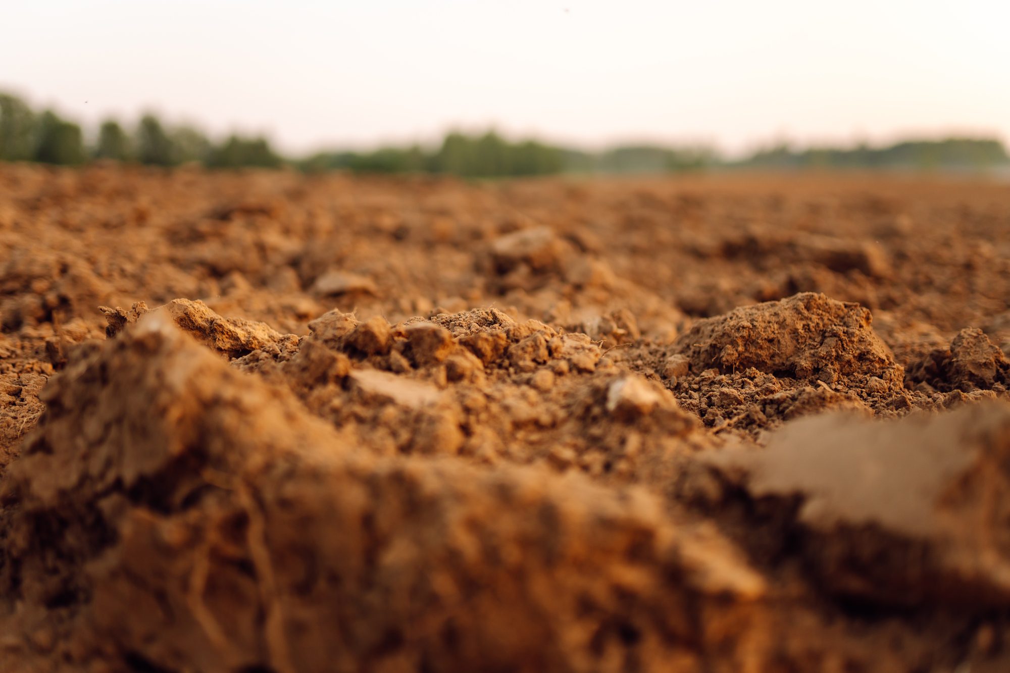
Monday, June 16, 2025 — A recent study introduces a promising method for measuring soil moisture using natural gamma rays emitted by elements such as potassium, thorium, and cesium in the soil. Conducted in Denmark, the research tested this method—called stationary gamma-ray spectrometry—across three field sites: an agricultural field, a beech forest, and a spruce plantation.
Unlike traditional point-based soil sensors or coarse satellite data, this new approach captures soil moisture changes across a spatial scale of tens of meters and to depths of up to 35 centimeters.
How It Works.
Soil naturally contains radioactive elements, such as potassium-40, thorium-232, and cesium-137. As these elements decay, they release gamma rays. The amount of radiation detected by sensors placed above the ground drops as soil moisture increases, because water dampens the signal. By analyzing these changes, scientists can estimate the amount of water present in the soil.
Three different formulas were tested to convert gamma radiation signals into soil moisture readings. The most accurate results were obtained from a revised equation known as the “Becker equation,” which incorporated a tuning parameter to better fit field data.
“Overall, our findings show that gamma-ray spectrometry is a reliable method to measure soil moisture,” the authors wrote. The accuracy was comparable to that of other industry-standard methods, such as cosmic-ray neutron detection, but with the added benefit of improved local resolution.
Potential for Western Water Management.
Soil moisture readings are vital in the Colorado River Basin, where water scarcity is a growing concern and agriculture remains a dominant water user. This method could provide critical insight for:
- Early detection of drought conditions and wildfire risk.
- Real-time data for farmers practicing precision irrigation.
- Understanding flood risk when soils are near saturation.
- Supporting ecosystem monitoring in forested or remote areas.
The method also has potential in areas where traditional sensors are difficult to maintain or where the landscape is too varied for a few data points to accurately represent moisture conditions.
Limitations and Next Steps.
The study noted challenges with one radioactive element, uranium-238, which produces signals that vary unpredictably after rainfall and were excluded from final soil moisture calculations. Nonetheless, the remaining elements—particularly potassium-40—produced reliable data across all land types studied.
Further testing is needed in dryland conditions more typical of the American Southwest, as the Danish climate where the study was conducted is wetter and cooler. Still, the use of gamma-ray spectrometry could become a valuable tool in the drought-planning toolbox.
As water managers continue to face climate uncertainty, tools that help visualize moisture at the field scale—without the need for invasive sensors—could play a crucial role in sustaining agriculture and protecting ecosystems.
Citation:
Andreasen, M., Van der Veeke, S., Limburg, H., Koomans, R., & Looms, M. C. (2025). Soil moisture time series using gamma-ray spectrometry detection representing a scale of tens-of-meters. Water Resources Research, 61, e2024WR039534. https://doi.org/10.1029/2024WR039534