- Scientists identify a deep Earth process that reshaped the Uinta Mountains.
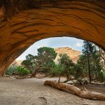
- The Green River crossed the range millions of years after the mountains formed.
- The range rose by roughly 400 to 450 meters during this geologic shift.
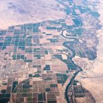
- River integration altered North America’s drainage and aquatic life.
Friday, February 6, 2026 — For decades, geologists have questioned how the Green River managed to carve a canyon directly through the Uinta Mountains, an east–west range in northeastern Utah that once formed a major continental drainage divide. The mystery stems from timing: the mountains formed more than 50 million years ago, yet evidence shows the Green River cut through them much later. A 2026 peer-reviewed study in the Journal of Geophysical Research: Earth Surface provides a new explanation based on changes occurring deep beneath the Earth’s crust.
Rivers Reveal a Changing Landscape.
The study analyzed river networks draining the Uinta Mountains and found clear evidence of a sudden increase in erosion rates within the last few million years. Broad, gently sloping high-elevation valleys upstream contrast with steep, deeply incised canyons downstream. These patterns indicate a rapid shift in landscape conditions rather than slow, steady erosion. Modeling suggests the Uinta Mountains experienced approximately 400 to 450 meters of surface uplift after the rivers were already established, despite the range being tectonically inactive for tens of millions of years.
A Deep Earth Process Below the Range.
Researchers attribute this uplift to a phenomenon known as a lithospheric drip. In this process, a dense portion of the mountain range’s deep root detached and sank into the mantle. As it pulled downward, the surface above temporarily subsided. This brief lowering likely allowed the Green River to flow across the range. Once the dense material fully detached, hotter and less dense mantle material rose to replace it, causing the mountains to rebound and rise higher than before.
Rivers, Fish, and a Shifted Divide.
The timing of this subsurface event aligns with geological evidence showing the Green River carved through the range between roughly 8 million and 2 million years ago. After the Green and Colorado Rivers merged, waters that once drained toward separate ocean basins became connected. This integration allowed fish species to mix across previously isolated river systems and permanently shifted North America’s continental drainage divide.
Implications for the Colorado River Basin.
The findings highlight how deep Earth processes can reshape landscapes, river networks, and ecosystems long after mountain building ends. Even geologically quiet regions can undergo major changes driven by forces far below the surface. For the Colorado River Basin, the research adds important context to how its modern drainage system formed and underscores that river paths and water connectivity can be influenced by deep geologic events operating over millions of years.
Citation.
, , , , & (2026). A lithospheric drip triggered Green and Colorado River integration. Journal of Geophysical Research: Earth Surface, 131, e2025JF008733. https://doi.org/10.1029/2025JF008733
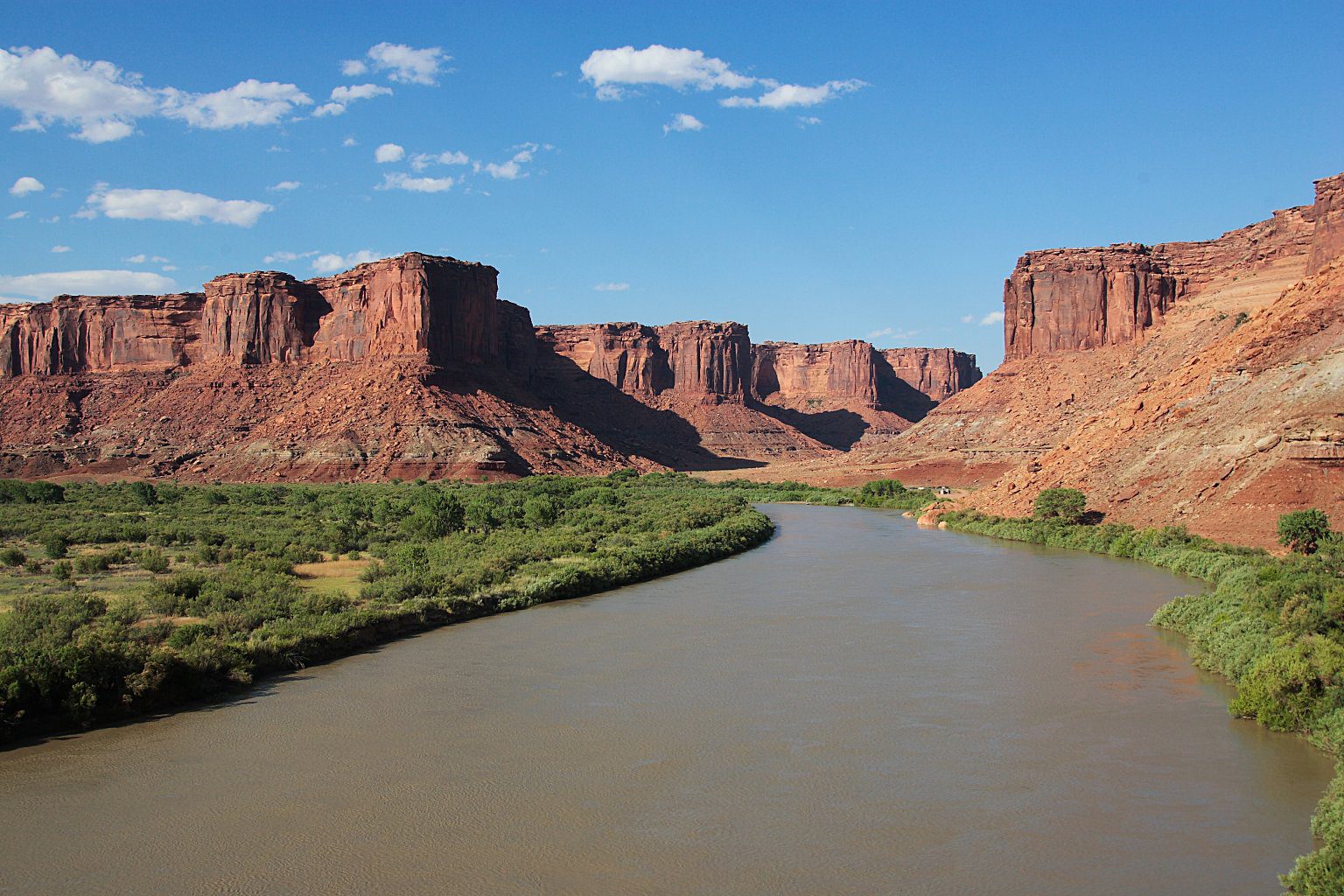
Image. “The Green River at Mineral Bottom , a few kilometres north of where the river enters Canyonlands National Park. Just visible, center-right, is the BLM maintained put-in/take-out; the river trip from Green River, Utah to Mineral Bottom (and beyond) is very popular.” BLM, June 2026. Use granted under the GNU Free Documentation License.