- NASA announced a new groundwater monitoring training.
- Groundwater supplies nearly one-third of U.S. water use.
- Some major aquifers are being depleted worldwide.
- Satellites now help track water hidden underground.
Wednesday, April 1, 2026 — NASA has announced a new training program focused on monitoring groundwater, a resource that often goes unseen but plays a critical role in daily life.
Groundwater sits beneath the surface in layers of soil and rock called aquifers. It supports drinking water, farming, industry, and energy production. In the United States, about 82 billion gallons of groundwater are used each day for irrigation, livestock, and power generation.
Roughly 29 percent of the nation’s total water use comes from groundwater. About two-thirds of that is used for irrigation.
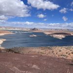
In dry regions, including much of the American West, groundwater can be the difference between a working farm and a failed one.
A Resource Under Pressure.
Scientists have been raising concerns about declining groundwater levels in several parts of the world. In the United States, this includes well-known agricultural regions such as the southern High Plains and California’s Central Valley.
These declines are largely tied to long-term pumping for irrigation. When more water is taken out than nature can replace, aquifers begin to shrink. Over time, that can lead to wells running dry, land sinking, and higher costs for farmers and communities.
The same pattern is being seen in other parts of the world, including northern India, the North China Plain, and parts of the Middle East.
Seeing the Invisible with Satellites.
One of the biggest challenges with groundwater is that it cannot be seen directly. That is where satellite technology comes in.
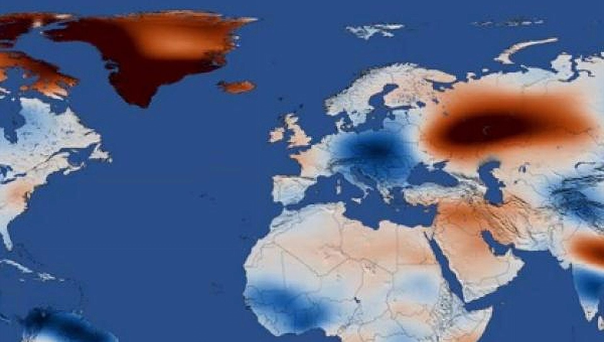
NASA missions known as Gravity Recovery and Climate Experiment and its follow-on mission measure subtle changes in Earth’s gravity. These changes can reveal how much water is stored underground across large areas.
While these measurements are useful, they cover very large regions. That makes it harder to pinpoint local changes.
To fill that gap, newer tools are being used. One example tracks small changes in the land surface. When groundwater is pumped out, the ground can slowly sink. Satellites can detect this movement with surprising accuracy.
Another system blends satellite data with weather and land models to provide more detailed, daily estimates of groundwater conditions.
Training the Next Wave of Water Managers.
NASA’s Applied Remote Sensing Training program is offering a three-part online course from April 23 through April 30, 2026.
The sessions will walk participants through how to access and use these satellite tools to monitor groundwater. The training includes real-world examples, hands-on exercises, and live question-and-answer sessions.
The program is designed for water managers, drought planners, researchers, and others who need reliable data to make decisions about water use.
A Growing Role in Water Planning.
As pressure on water supplies continues to grow, better information is becoming essential. Satellite data enables tracking changes over time, identifying emerging problems, and planning ahead.
For regions already facing drought and declining snowpack, understanding what is happening underground may become just as important as tracking rivers and reservoirs above ground.