
February 9, 2024 — Significant snowfall is transforming the landscape of the Colorado River Basin states, signaling a hopeful shift for the region’s water resources. Recent forecasts by the National Weather Service predict a series of weather activities that will bring moderate to heavy snowfall to the higher elevations of Arizona, Utah, Colorado, and New Mexico. This precipitation is crucial for replenishing the snowpack in these mountainous areas, which plays a vital role in the water cycle of the region.
The Importance of Snowpack.
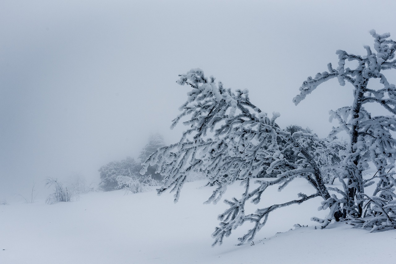
Snowpack serves as a natural reservoir, storing water as snow during the winter months and releasing it slowly as it melts throughout the warmer seasons. This gradual release of water replenishes rivers and reservoirs, providing essential water supplies for agriculture, drinking water, and hydroelectric power. In the arid landscapes of the Colorado River Basin, the accumulation of snowpack is critical for sustaining the water needs of both the environment and the millions of people who rely on this river system.
Regional Snowfall Impacts.
Arizona has experienced heavy snowfall, particularly in the northern parts, leading to the shutdown of major interstates and significant accumulations that promise to contribute to the snowpack levels.
“California‘s recent deluge of weather made a significant impact on the snowpack, but an underwhelming winter has made for an uphill battle,” writes Lucas Combos of the Los Angeles Patch.
Colorado is nearing its normal snowpack levels for the year, thanks to recent storms, showcasing a promising increase in water storage potential.
Nevada, while lagging behind in snowpack levels, sees the recent weather as a positive step towards reaching a normal snowpack by spring.
New Mexico and Utah both report reaching or surpassing average snowpack levels, with Utah‘s snowpack exceeding 100% of the 30-year average in some areas.
Finally, Wyoming data indicates that with the exception of the South Platte Basin, a number of basins throughout the state are approaching snow water equivalent averages. The average snow water equivalent (SWE) percentage for Wyoming is approximately 77%. The basins where the SWE percentage is higher than average, specifically over 100%, are:
- Lower Green River: 108%
- Upper Bear River: 108%
A Closer Look at the National Weather Service’s Short-Range Forecast.
In its short range forecast published on February 8, the National Weather Service indicated a continuation of unsettled weather patterns over the coming days.
From Friday, February 9, 2024, through Sunday, February 11, 2024, the western United States, particularly the mountainous regions of the Colorado River Basin states, is expected to experience significant weather activity. A persistent upper-level trough over the West will facilitate several shortwaves, leading to precipitation across much of the area. The higher elevations in these states are set to receive moderate to locally heavy snowfall. The Four Corners region, encompassing parts of Arizona, Utah, Colorado, and New Mexico, is highlighted for potentially high snow accumulations. The Mogollon Rim in Arizona and the San Juan mountains in Colorado could see more than 12 inches of snow, with a greater than 70% probability of such an event. Similarly, the Wasatch Range in Utah is expected to receive more than 8 inches of snow, with the same level of probability.
The impact of this weather system will be felt through this morning, with additional snowfall predicted into Saturday. While the higher elevations brace for snow, the lower valleys and plains may experience a wintry mix or rain, with some areas possibly accumulating a small amount of snow. Due to the precipitation and cloud cover, temperatures across the western states in the Colorado River Basin are forecast to remain below average through the weekend, eventually normalizing next week.
This weather pattern signifies a continuation of winter conditions in the mountainous and higher elevation areas of the Colorado River Basin states, with significant snowfall contributing to the seasonal snowpack. Residents and visitors in these regions should prepare for winter weather conditions and potentially challenging travel in the affected mountain ranges.