Arizona measures groundwater levels in northwest region

Arizona will measure groundwater in the Coconino Plateau, in the northwest part of the state. The last major surveys in the region were done in the 1970s and 1990s.
Spread the love

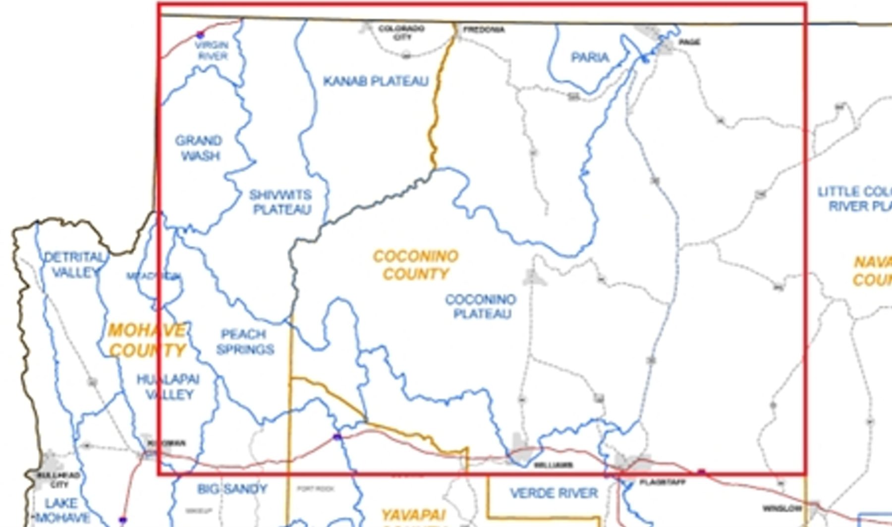
March 12, 2024 — Starting this week, the Arizona Department of Water ResourcesOpens in a new tab. is beginning a large-scale project to measure the amount of water stored underground in the northwest part of the state. This project will focus on areas like the Virgin River, Grand Wash, and Coconino Plateau.

Groundwater is a vital water source for Arizona. This project will help officials understand how groundwater levels have changed over time. The last time a major survey was done in this region was in the 1970s and 1990s.

The information collected will be used to:

  • Track how groundwater amounts change over time.
  • Create models to predict future groundwater conditions.
  • Make maps showing water level changes.
  • Support water planning for the future.

Deborah

Since 1995, Deborah has owned and operated LegalTech LLC with a focus on water rights. Before moving to Arizona in 1986, she worked as a quality control analyst for Honeywell and in commercial real estate, both in Texas. She learned about Arizona's water rights from the late and great attorney Michael Brophy of Ryley, Carlock & Applewhite. Her side interests are writing (and reading), Wordpress programming and much more.

Leave a Reply

Leave a Reply

Your email address will not be published. Required fields are marked *

Subscribe
Notify of
guest
1 Comment
Oldest
Newest Most Voted
Inline Feedbacks
View all comments
Laura Bove
Member
Laura Bove
March 12, 2024 11:21 am
Interesting, I can only assume the ground water levels are vastly different/worse than they were in the ’70’s and the 90’s. I hope this project is fruitful and turns up good information that will allow for more and better solutions in the future.

Recent Posts

1
0
Would love your thoughts, please comment.x
()
x
Skip to content