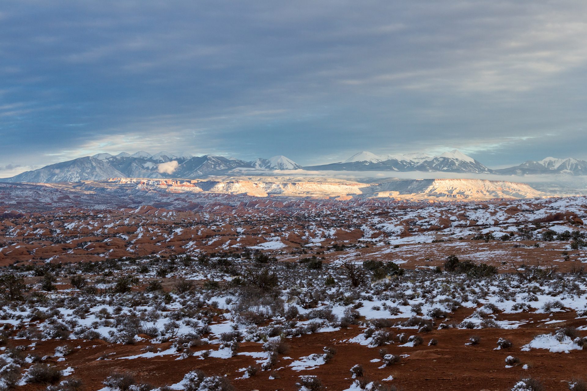
- Late February storms boosted snowpack in parts of Utah.
- Some basins remain at record-low snow water levels.
- Reservoir storage stands at 67 percent capacity.
- Officials say continued storms are needed through early April.
Friday, February 20, 2025 — After a notably dry start to winter, Utah received a more active storm cycle in mid-February. According to the Utah Division of Water Resources  in its February 19, 2026 update, the recent snowfall provided a much-needed lift across parts of the state.
The timing matters. Utah typically reaches peak snowpack in early April, and snow accumulation in the mountains serves as the state’s primary natural reservoir. As snow melts in spring, it feeds rivers, refills reservoirs, and supports farms, cities, and ecosystems through the hotter months.
Still, one round of storms is not enough to change the overall picture.
“We appreciate the good storm! Now we need several more!” said Joel Williams, director of the Utah Division of Water Resources, in the February 19 release. “We’ll need consistent snowstorms to make up for the snow deficiency we have been experiencing this winter.”
Record Lows in the Sevier River Basin.
While some areas saw improvement, others remain in serious deficit. The Sevier River Basin continues to report record-breaking low snow water equivalent, even after receiving more than an inch of water from recent storms.
Snow water equivalent measures the amount of liquid water contained in the snowpack. It is a key indicator for spring runoff. In practical terms, even if snow depth appears healthy, what matters most is how much water it will produce when it melts.
In the Sevier Basin, the deficit is so significant that a single storm system has not meaningfully closed the gap compared to previous years. That creates uncertainty for irrigation districts and communities that depend heavily on local runoff.
Only a Small Chance of Normal Snowpack.
The February 1 Water Supply Outlook Report from the Natural Resources Conservation Service adds to the caution. Observations indicate roughly a 10 percent chance of reaching a normal peak snowpack this winter.
That statistic underscores how much additional precipitation would be required between now and early April to reach average conditions. Without sustained storms, spring runoff is likely to fall short of typical levels.
For a state that relies heavily on snowmelt to feed rivers such as the Colorado and Sevier, below-normal snowpack can ripple through agriculture, municipal systems, hydropower generation, and environmental flows.
Reservoirs Offer a Partial Cushion.
Utah’s reservoirs are averaging 67 percent full, which is slightly above normal for mid-February, according to the February 19 update. That carryover storage from prior years may help buffer water users during the coming summer.
Water managers are expected to rely on that stored water if runoff underperforms. Reservoir operations often balance multiple needs, including irrigation, drinking water, recreation, and fish habitat.
Holding water in storage also provides flexibility. Water saved now can support essential uses later in the season, particularly during peak demand in late summer.
Conservation Remains Central.
State officials continue to emphasize conservation as a practical response to uncertain runoff.
The Utah Department of Natural Resources is promoting programs such as the Agricultural Water Optimization Program, which works with farmers to improve irrigation efficiency. Residential efforts are supported through SlowtheFlow.org, which offers indoor water-saving guidance and rebate information.
The message is consistent. Even in years when snow improves late in the season, long-term drought resilience depends on efficient use and careful planning.
What This Means Going Forward.
If additional storms materialize through March and early April, runoff projections could improve. If they do not, Utah may enter the 2026 irrigation season relying more heavily on stored water.
For water managers, the coming weeks are critical. Snow accumulation during late winter often determines whether spring flows approach normal levels or fall short.
As of February 19, 2026, the state has received welcome relief, but the broader water outlook remains cautious.