Arizona State University’s Kyl Center for Water Policy, part of the Morrison Institute for Public Policy, is making water data available to anyone who wants to see it.
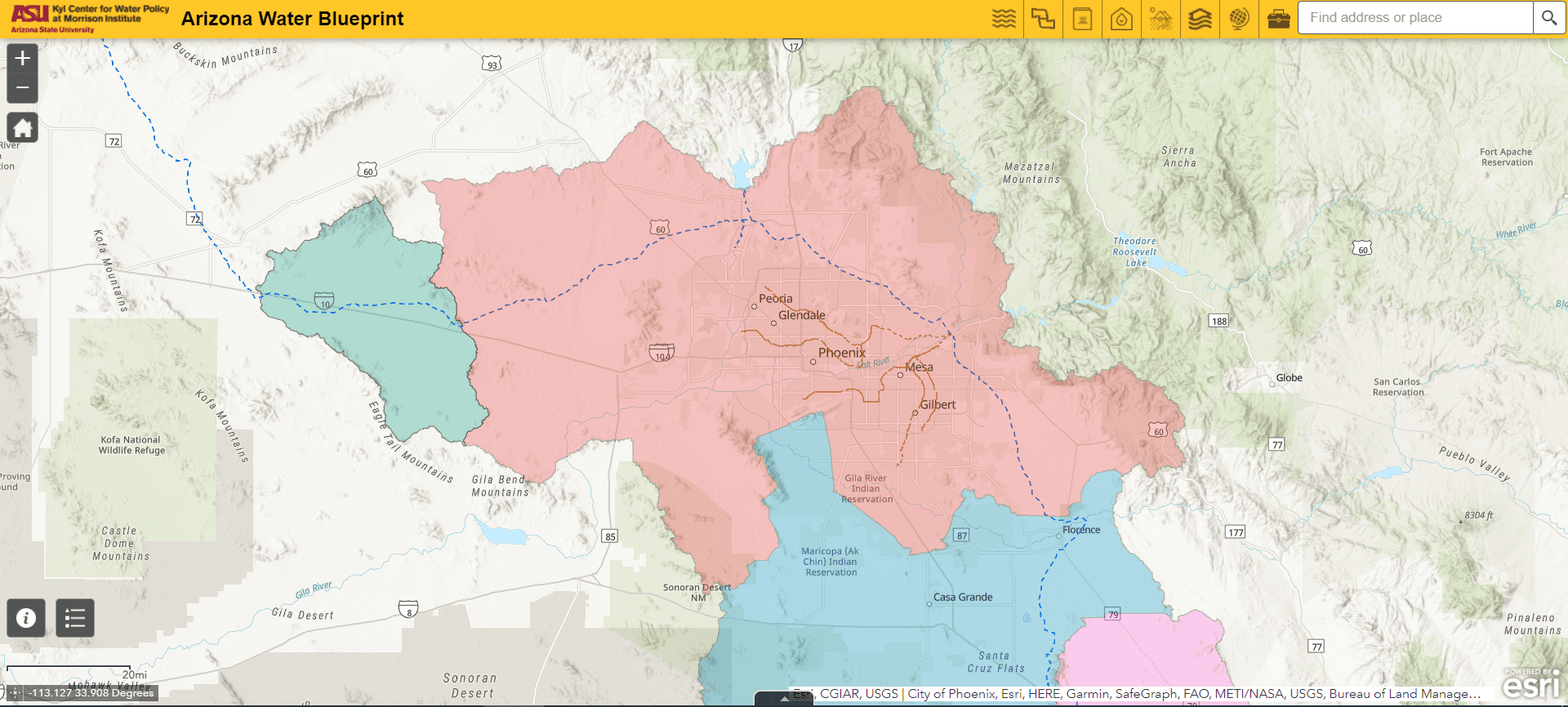
With the input of over 200 experts in water, land use, environmental and economic development, the Center created the Arizona Water Blueprint .
.
The Arizona Water Blueprint is a data-rich, interactive map of Arizona’s water resources and infrastructure. Offering data visualizations and in-depth multimedia content on important water-related topics, the Water Blueprint is a tool for holistic thinking to inform policy decisions and good water stewardship.
We saw people struggling to find answers to their questions about water. Water source information was so hard to find that one community official had resorted to carrying it around with her on a hand-drawn map.
We created the Water Blueprint to make information about water resources and infrastructure accessible to civic leaders, homebuyers, professionals, and anyone else who needs it. It empowers community members to learn about Arizona’s water with over 50 data resources in one easy-to-use place — no GIS experience needed.
Staff from ASU’s Kyl Center for Water Policy at Morrison Institute will be holding monthly, virtual office hours through September of this year so users can ask questions about using the Arizona Water Blueprint. For the first 10-15 minutes of each session, Kyl Center staff will highlight a Blueprint capability and explain a data layer. This will be followed by Q&A sessions.
Register here for the Arizona Water Blueprint open office sessions on Zoom


Leave a Reply