- Ute Water Conservancy District will begin drought rates in July 2026.
- The district says low snowpack and weak runoff are straining supplies.
- Officials are asking customers to reduce outdoor watering.
- This is the first use of drought pricing since 1977.
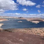
Friday, May 22, 2026 — For the first time in nearly 50 years, the Ute Water Conservancy District will begin charging drought and emergency water rates as dry conditions continue across western Colorado and the broader Colorado River Basin.
During its May 2026 meeting, the district’s Board of Directors voted to activate the rates beginning in July for water used during June 2026. According to the district, the decision was driven by a combination of below-average snowpack, early spring runoff, low stream flows, irrigation shortages, and limited reservoir storage across the region. Officials said customer water use also climbed sharply this spring, with average demand increasing by about 25% as warmer and drier conditions arrived.
The district, which serves roughly 90,000 customers, said it is encouraging residents to avoid using treated domestic water for outdoor lawn watering whenever possible in order to protect supplies later in the summer. Ute Water stated that indoor domestic water service remains unrestricted at this time, though officials warned conditions could change quickly depending on weather and runoff patterns. The district also emphasized that all drinking water will continue to meet state and federal safety standards regardless of source conditions.
According to a report by the Daily Sentinel, this marks the first time the district has implemented drought pricing since 1977. The newspaper reported that regional drought conditions and declining water availability throughout the Colorado River Basin played a major role in the board’s decision.
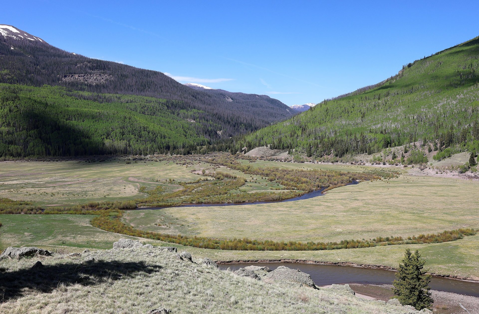
Image photographed by Jeffrey Beall on June 7, 2024. A view of Ute Creek near its mouth at the Rio Grande Reservoir in Hinsdale County, Colorado.JPG "Opens in a new tab.") . The mountain (slope) on the right is part of Ute Ridge. Part of Simpson Mountain is on the left. Licensed under the Creative Commons Attribution 4.0 International license.
. The mountain (slope) on the right is part of Ute Ridge. Part of Simpson Mountain is on the left. Licensed under the Creative Commons Attribution 4.0 International license.