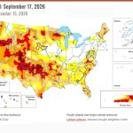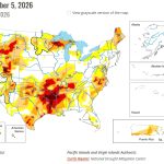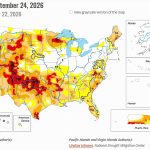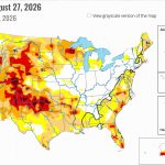
- Recent heavy rains brought widespread drought improvement across the Colorado River Basin states.
- Lake Powell gained nearly 1.4 million acre-feet of water since mid-September.
- Navajo Reservoir rose to 110% of its average storage for this time of year.
- More precipitation was forecast for the Southwest, raising the possibility of additional drought relief.
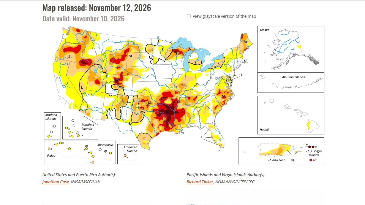
Saturday, November 14, 2026 — Heavy rainfall has eased drought across parts of the western United States, but dry conditions continue to worsen in other regions, according to the U.S. Drought Monitor report released November 12, 2026 .
The latest report describes a sharp contrast between areas receiving substantial rainfall and others struggling with persistent drought.
Conditions worsened in the lower Mississippi Valley and parts of the Great Lakes region. Exceptional drought continued to intensify in Arkansas, Louisiana, Mississippi, southeastern Oklahoma and eastern Texas.
Meanwhile, heavy rainfall brought significant improvements to southern and western Texas, portions of the Appalachian region and parts of the Upper Midwest.
Some locations received enough rain to reduce drought severity by one or two categories. In others, drought conditions disappeared entirely.
Across the Southwest, weeks of unusually heavy rainfall have produced substantial improvements in drought conditions, raised soil moisture levels and helped refill reservoirs that had experienced months of declining storage.
Recent Storms Ease Drought Across the Colorado River Basin.
The seven Colorado River Basin states, Arizona, California, Colorado, Nevada, New Mexico, Utah and Wyoming, were among the western states experiencing improving drought conditions.
According to the November 12 report, drought conditions improved across a broad area extending from southeastern Montana southward into New Mexico and westward through Nevada and Southern California.
Although much of the West received little substantial rainfall during the latest reporting week, drought conditions continued to improve because of precipitation that fell during previous weeks.
The Four Corners region, where Arizona, Colorado, New Mexico and Utah meet, received relatively little rainfall during the reporting period. Nevertheless, earlier storms continued to influence drought conditions across the region.
Those storms brought substantial rainfall, widespread flooding in some locations and rapidly rising reservoir levels.
The Drought Monitor attributed the unusually wet conditions to recent El Niño-influenced rainfall, which has left soil moisture levels near record highs in portions of the West.
Lake Powell Gains Nearly 1.4 Million Acre-Feet.
One of the most significant developments in the November 12 report was the rapid increase in water storage at Lake Powell.
The reservoir, located behind Glen Canyon Dam, gained almost 1.4 million acre-feet of water between mid-September and the reporting period.
An acre-foot is the amount of water needed to cover one acre of land to a depth of one foot.
The increase represents a substantial change following months of declining reservoir storage.
However, Lake Powell remained well below its average storage level for this time of year.
According to the Drought Monitor, the reservoir stood at just 42% of its average seasonal storage, despite the recent gains.
The reported percentage compares Lake Powell’s storage with its historical average for this time of year, not with the reservoir’s total storage capacity.
Navajo Reservoir Rises Above Seasonal Average.
Navajo Reservoir in northwestern New Mexico also experienced a dramatic increase in storage.
According to the report, the reservoir gained more than 600,000 acre-feet of water since mid-September as heavy rainfall and flooding increased water supplies.
By the November 12 report, Navajo Reservoir had reached 110% of its average storage for this time of year.
That means the reservoir held approximately 10% more water than its seasonal average.
The Drought Monitor described exceptionally rapid reservoir filling across the Desert Southwest, with several reservoirs recovering storage lost during previous months in only a matter of weeks.
Both Navajo Reservoir and Lake Powell saw substantial gains, but their storage levels remained far from their respective seasonal averages.
Additional Storms Could Bring More Precipitation.
The November 12 Drought Monitor also outlined the possibility of additional precipitation across the western United States.
A series of strong weather systems was expected to affect the West Coast, particularly from Central California northward into Washington.
Forecasts from the National Oceanic and Atmospheric Administration’s Weather Prediction Center indicated that some areas could receive five inches or more of precipitation through Tuesday, November 17.
The Climate Prediction Center also projected above-average precipitation across the Southwest.
These forecasts were issued with the November 12 report and describe expected conditions rather than rainfall already received.
Recent Rainfall Changes the Western Drought Picture.
The latest Drought Monitor reflects significant changes across the Southwest following weeks of heavy precipitation.
Drought severity has declined across broad portions of the West, soils have become unusually wet, and reservoirs have gained substantial amounts of water.
The improvements have been particularly noticeable in the Desert Southwest, where flooding and heavy rainfall helped reverse months of declining reservoir levels.
Still, the report shows that storage conditions vary considerably. Navajo Reservoir had climbed above its seasonal average, while Lake Powell remained well below its own seasonal average despite a substantial increase in water storage.
With additional precipitation forecast for the region, the November 12 report provides a snapshot of drought conditions during a period of rapidly changing weather and reservoir storage.