
NOTE: This is a preliminary report that is subject to revision. Reservoir comparisons use the October 14 midnight storage values published in the Bureau of Reclamation’s October 2026 24-Month Study (issued October 15) and the latest available observations through November 5, 2026. Percent-of-capacity figures are calculated against Reclamation’s published live storage capacities. Damage figures and infrastructure assessments are preliminary and are expected to change. AI was used to assist with research.
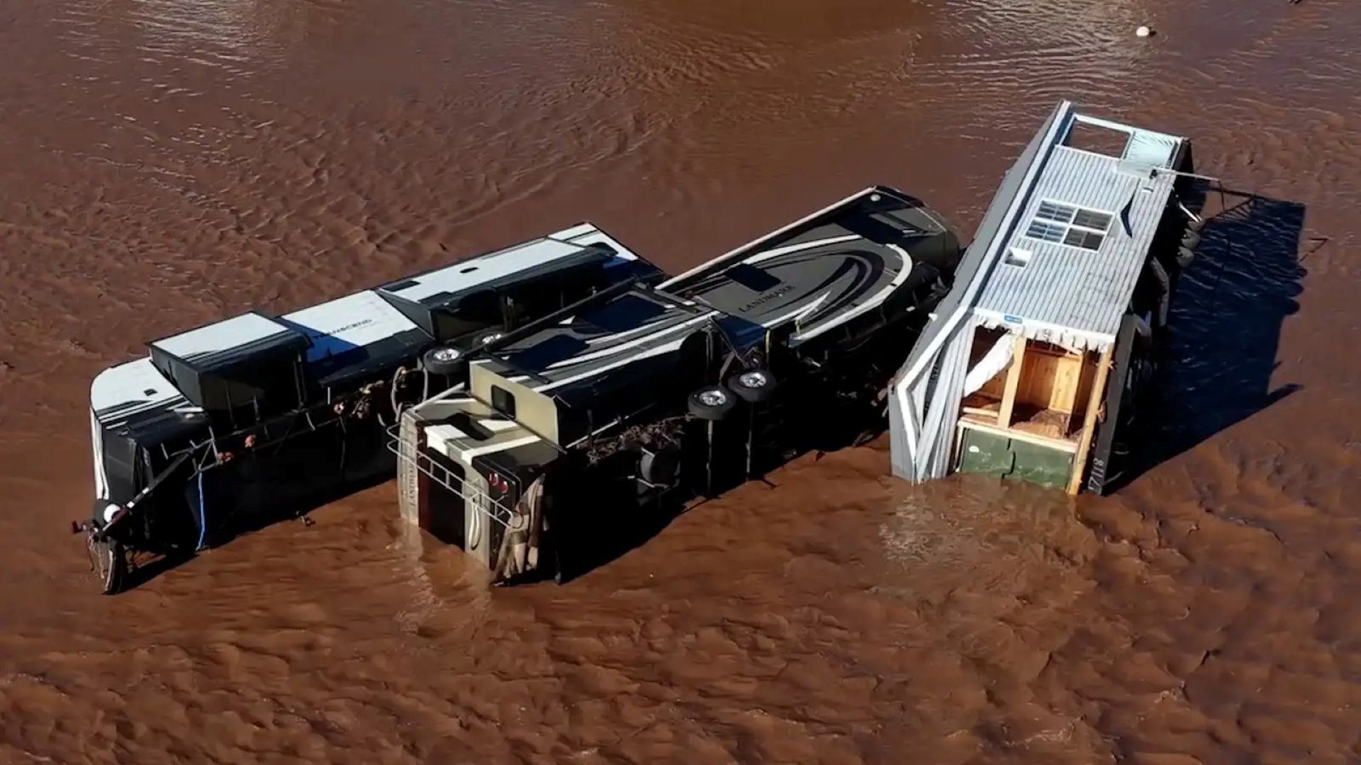
Friday, November 6, 2026 — Storms in late October and early November 2026 brought destructive, in places record-setting, flooding to communities across the American Southwest. Homes were inundated or destroyed, bridges and highway corridors washed out, drinking water and wastewater systems were compromised, and thousands of residents were evacuated. The storms were also deadly: a flood-related death was reported in Santa Fe County, New Mexico, and flooding killed multiple people in Arizona. At the same time, large volumes of storm runoff poured into a regional reservoir network weakened by more than two decades of drought.
The outcomes were far from uniform across the seven Colorado River Basin states.
New Mexico reported more than $200 million in preliminary flood losses. The Colorado Department of Transportation requested about $65 million in federal emergency relief for damaged federal-aid highways. Utah declared a state of emergency in two southern counties after repeated flooding damaged homes, roads, bridges and water systems. Arizona declared a statewide emergency as its Salt and Verde River reservoirs absorbed record fall inflows.
| New Mexico Damage | Colorado Highways | Arizona SRP System | Lake Powell |
|---|---|---|---|
| $200M+ | ~$65M | ~370,000 AF | 26.9% full |
| Preliminary losses, Nov. 2 federal request | Preliminary FHWA emergency relief request, Oct. 28 | ~120 billion gallons captured, Nov. 1–6 | Nov. 5; +1.04M AF since Oct. 14 |
The hydrologic record shows that while the storms added substantial volumes of water to select reservoirs, the gains were unevenly distributed. The critical question for water managers is not simply how much rain fell, but whether a short-term runoff spike provides durable drought relief while damaged communities rebuild and operators manage storage space heading into winter.
Regional Reservoir Comparison.
Reclamation’s October 2026 24-Month Study provides a consistent regional baseline using reservoir storage recorded at midnight on October 14. Reclamation’s daily and weekly operations data provide observations through November 5.
The figures below are net storage changes over the roughly three-week window. They reflect upstream inflows minus operational releases, diversions and evaporation, and are not a gauge of flood runoff alone.
| Reservoir | Oct. 14 Storage | Nov. 5 Storage | Net Change | Percent of Live Capacity |
|---|---|---|---|---|
| Lake Powell | 5,223,099 AF | ~6,268,000 AF | +1,044,901 AF | 22.4% → 26.9% |
| Navajo | 856,394 AF | ~1,390,000 AF | +533,606 AF | 51.9% → 84.2% |
| Blue Mesa | 140,029 AF | ~166,800 AF | +26,771 AF | 16.9% → 20.1% |
| Flaming Gorge | 2,460,597 AF | ~2,410,000 AF | −50,597 AF | 67.0% → 65.7% |
Across these four Upper Basin federal reservoirs, net storage rose by approximately 1.55 million acre-feet over the comparison window.
The contrast between individual facilities illustrates how the system is operated:
-
- Navajo Reservoir gained more than half a million acre-feet, climbing from about half of its live capacity to roughly 84 percent as tropical moisture drenched the upper San Juan River watershed.
-
- Flaming Gorge, on the Green River in Wyoming and Utah, declined by more than 50,000 acre-feet during the same window. Reclamation continued drawdowns under the Drought Response Operations Agreement (DROA) to support elevations at Lake Powell.
-
- Lake Powell gained more than one million acre-feet of net storage, raising its surface about 18 feet, from roughly 3,519 feet to about 3,537 feet. Reclamation data show a rise of about 19 feet from the end of September through November 5. The reservoir nonetheless remains more than 160 feet below full pool (3,700 feet), holds barely more than a quarter of its live capacity, and sits about 15 feet lower than at this time last year.
Separately, in central Arizona, Salt River Project (SRP) reported on November 6 that its Salt and Verde River reservoir system captured about 370,000 acre-feet (roughly 120 billion gallons) of storm runoff, raising total system storage from 53 percent on November 1 to 70 percent on November 6.
Part I: Upper Colorado River Basin.
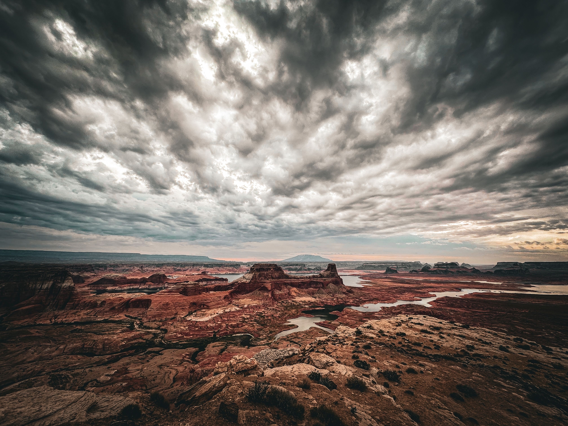
Colorado.
-
- Primary Flood Periods: October 22–25, with a second round of heavy rain and flooding October 31–November 2.
-
- Documented Infrastructure Impact: About $65 million in preliminary estimated damage to federal-aid highways.
The National Weather Service reported three to seven inches of rain across the Four Corners region over several days. In Pagosa Springs, the San Juan River crested at just over 15 feet early on October 23, according to the town. CDOT reported significant structural damage to three highways: U.S. Highway 160, U.S. Highway 550 and Colorado Highway 151.
A second weekend of storms brought new damage. CDOT reported several highways and one bridge impassable, and Pagosa Springs officials ordered low-lying areas evacuated as forecasters warned the San Juan could crest above the level reached in the 1911 flood of record.
Governor Jared Polis verbally declared a disaster emergency on October 22 for southwest Colorado counties including La Plata, Archuleta, Montezuma and Dolores, later expanding it to 12 counties. The declarations authorized Colorado National Guard support for flood response, evacuations and search and rescue. The state Transportation Commission approved $5 million in contingency funds on October 26. On October 28, CDOT asked the Federal Highway Administration for about $65 million in emergency relief, including $6.5 million, or 10 percent, through FHWA’s quick-release process. FHWA approved the quick-release funds on October 30 for repairs to U.S. 160, U.S. 550 and Colorado 151. CDOT has said the $65 million figure is preliminary because high water kept crews from fully inspecting bridges. Polis has since requested a major presidential disaster declaration.
Colorado Reservoir Overview (November 5 Status):
-
- Blue Mesa Reservoir (Gunnison River): About 20.1 percent of live capacity (~166,800 AF; net gain of ~26,800 AF). Blue Mesa remains constrained by multi-year deficits despite local tributary inflow.
-
- Morrow Point Reservoir (Gunnison River): About 93.5 percent full (~109,600 AF). Morrow Point operates primarily as a regulating reservoir below Blue Mesa and is normally kept near full.
-
- Sub-basin reservoirs pending official data synthesis: Crystal (Gunnison), McPhee (Dolores), Ridgway (Uncompahgre), Ruedi (Fryingpan), Green Mountain (Blue River), Lake Granby (Colorado River headwaters) and Vallecito (Pine River). East Slope facilities outside the basin, such as Pueblo and John Martin on the Arkansas River, experienced separate storm dynamics and are excluded from Colorado River accounting.
No dam-safety incidents at Reclamation’s Upper Basin facilities had been publicly reported through November 6.

New Mexico.
-
- Primary Flood Period: October 22–30, followed by a secondary surge beginning November 1.
-
- Documented Fiscal Impact: Preliminary statewide losses exceeding $200 million.
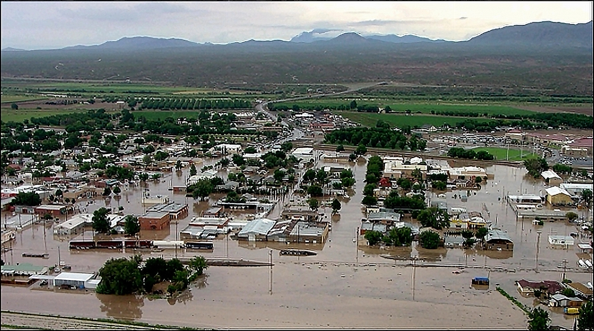
Northern and northwestern New Mexico suffered the most severe residential and municipal damage. In Farmington, the San Juan River rose from about 3.5 feet to 14 feet in roughly a day, possibly the highest level ever recorded in the city. Navajo Reservoir upstream held back much of the water coming off the mountains, but normally dry tributaries below the dam, Gobernador Canyon and Cañon Largo, sent flood surges into the river. On the Rio Chama, flows exceeded major flood stage.
Governor Michelle Lujan Grisham requested a federal emergency declaration on October 24. The federal government partially granted it on October 26, offering direct agency assistance but not reimbursement for rescues, emergency response or debris removal. On November 2, the governor asked President Donald Trump for a major disaster declaration covering the October 22–30 flooding, seeking individual assistance for residents of San Juan, Cibola, Socorro and Santa Fe counties and the Pueblos of Acoma and Laguna. According to the request:
-
- Housing: Early assessments counted 604 damaged or destroyed homes, including 353 destroyed or heavily damaged. In San Juan County alone, 64 homes were destroyed. State emergency officials expect the count to rise to as many as 2,000.
-
- Rescues and Evacuations: Swift-water teams rescued at least 36 people. San Juan County ordered more than 5,000 residents to evacuate, and more than 130 nursing home residents were moved to other facilities. Rio Chama flooding forced 31 more households from their homes. As of November 2, 190 people were staying at the American Red Cross shelter at McGee Park in Farmington.
-
- Infrastructure Losses: Road and bridge repair estimates reached $40 million, alongside $42 million in agricultural and irrigation losses. In Rio Arriba County, a roadway failure isolated four residents, requiring helicopter supply flights.
Lujan Grisham has signed 73 emergency executive orders, making more than $54 million in state funds available for response and recovery. That state funding is emergency operating money, not an addition to the $200 million loss estimate.
New Mexico Reservoir Overview (November 5 Status):
-
- Navajo Reservoir (San Juan River): About 84.2 percent of live capacity (~1,390,000 AF; net gain of ~533,600 AF). Navajo served as the Upper Basin’s primary runoff sponge during the storms. Captured water remains subject to operational releases, downstream flow targets under the San Juan River Basin Recovery Implementation Program, and project uses including the Navajo Indian Irrigation Project and the Navajo-Gallup Water Supply Project. The San Juan-Chama Project diverts tributary water above the reservoir.
-
- Elephant Butte Reservoir (Rio Grande Basin): About 8.2 percent full (~166,600 AF). Outside the Colorado River drainage, Elephant Butte picked up some runoff but remains near historic lows, illustrating how localized the heaviest rainfall was.
-
- Rio Chama Facilities: Heron Reservoir (which stores imported San Juan water delivered through the Azotea Tunnel), El Vado Reservoir and Abiquiu Reservoir serve flood-control and storage functions; two-date storage comparisons are pending.
Utah.
-
- Primary Flood Period: October 22–November 1, with some areas flooding multiple times.
-
- Documented Fiscal Impact: Statewide dollar losses pending; extensive infrastructure damage in San Juan and Washington counties.
In southeastern Utah, the San Juan River and its desert washes flooded communities, cut highways and damaged water systems:
-
- Bluff: Early counts showed at least seven homes and four businesses flooded in Bluff, and one lodging business reported all 11 of its cabins inundated. The National Weather Service forecast a crest near Bluff of about 31 feet, eight feet above flood stage and close to the 32-foot record set in 1927. Nearby Navajo Nation communities, including Montezuma Creek and Aneth, also flooded, and a wastewater lagoon in Montezuma Creek was breached.
-
- Highways: The Comb Wash Bridge on U.S. Highway 163, the route between Bluff and Mexican Hat and Monument Valley, was closed after a gap opened between the bridge and the roadway. Flooding also damaged sections of State Routes 162 and 262.
-
- Drinking Water and Contamination: The Utah Department of Environmental Quality reported on November 2 that Mexican Hat’s municipal well house had been inundated, leaving the town dependent on hauled water. Floodwater in the San Juan River and surrounding soil has shown E. coli levels 10 times higher than the threshold that triggers a health advisory.
-
- Washington County: In southwestern Utah, flash flooding heavily damaged homes in Hurricane.
San Juan County declared a local emergency on November 1. On November 6, Governor Spencer Cox signed Executive Order 2026-09, declaring a 30-day state of emergency for San Juan and Washington counties unless extended by the Legislature.
Utah Reservoir Overview (November 5 Status):
-
- Lake Powell (Colorado River; shared with Arizona): About 26.9 percent of live capacity (~6.27 million AF).
-
- Flaming Gorge (Green River; shared with Wyoming): About 65.7 percent of live capacity (~2.41 million AF).
-
- Scofield Reservoir (Price River): Within the Price River/Green River system of the Colorado River Basin; official two-date comparison pending.
-
- Additional basin facilities pending reconciliation: Starvation Reservoir (Strawberry/Duchesne system) and Red Fleet Reservoir (Green River tributary). Central Utah reservoirs draining to the Great Salt Lake Basin (Jordanelle, Deer Creek, Pineview) sit outside the Colorado River system.
Wyoming.
-
- Flood Damage: No statewide flood disaster was declared or attributed to the Four Corners storms through November 6.
Wyoming’s headwaters were largely outside the core storm track. Green River operations, however, directly affect recovery downstream:
-
- Fontenelle Reservoir (Green River): At elevation 6,499.15 feet on November 3, holding about 84 percent of live storage capacity. October inflows totaled 52,263 AF (116 percent of average).
-
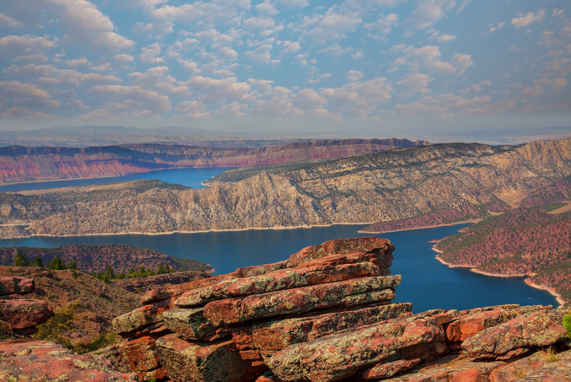
- Flaming Gorge Operations: Drawdowns to support Lake Powell continue under the DROA framework regardless of the southwestern floods. The current plan calls for 660,000 to 1 million acre-feet of releases by April 2027, with as much as 400,000 acre-feet potentially coming from Flaming Gorge.
Part II: Lower Colorado River Basin.
Arizona.
-
- Primary Flood Periods: Around October 20–22 in northern Arizona, and October 30–November 2 statewide.
-
- Statewide Infrastructure Loss: Formal damage totals pending joint state and FEMA assessment.
Arizona faced two challenges at once: severe storm damage across northern and rural counties, and extraordinary runoff from the Mogollon Rim draining into central Arizona’s storage reservoirs.
On October 30, Governor Katie Hobbs declared an emergency for Navajo and Coconino counties, more than a week after flooding and tornadoes struck rural and tribal communities, allocating $200,000. On November 2, Hobbs declared a statewide emergency after a weekend of intense storms and flash flooding, unlocking another $200,000 for the Arizona Division of Emergency Management. Despite its statewide title, the declaration named parts of Apache, Coconino, Gila, Greenlee, Navajo, Pinal and Yavapai counties. Apache County declared its own emergency the same day, and Maricopa County declared a local emergency for unincorporated areas after the October 30–November 1 storms and asked to be added to the state declaration.
The Central Arizona Reservoir Surge.
Salt River Project data released November 6 describe one of the most intense short-duration runoff events in the system’s history:
-
- Inflows: SRP reported peak inflow to Theodore Roosevelt Lake of about 145,000 cubic feet per second (cfs) and peak flows on the Verde River system of about 94,000 cfs. SRP said October–November inflows on the Verde watershed were on track to be the highest since 1972, about eight times average, after three straight low-runoff seasons.
-
- Captured Storage: SRP reservoirs stored about 370,000 AF (roughly 120 billion gallons), raising total system storage from 53 percent on November 1 to 70 percent on November 6.
-
- Controlled Dam Releases: To manage flood space and protect its dams, SRP increased releases from Bartlett Dam (Verde) and Stewart Mountain Dam (Salt) to roughly 400,000 gallons per second, about 54,000 cfs, sending water through the normally dry Salt River channel in metro Phoenix and forcing Tempe Town Lake to close to boating.
Arizona Lower Basin Storage Status (November 5 Status):
-
- Lake Mead (Colorado River; shared with Nevada): Elevation 1,039.4 feet, holding about 6.94 million AF (26.6 percent of capacity). Lake Mead gained roughly 61,700 AF over seven days, a modest increase that leaves it more than 19 million acre-feet below capacity.
-
- Lake Mohave: About 87.4 percent full (~1.58 million AF). Regulated tightly for downstream delivery.
-
- Lake Havasu: Operating within its normal high range as a delivery forebay. High fill levels reflect routine operating targets, not flood storage gains.
-
- Tributary reservoirs under verification: San Carlos Reservoir (Gila River), Lyman Reservoir (Little Colorado River), C.C. Cragin, Show Low Lake and Fool Hollow Lake.
Nevada.
-
- Primary Flood Period: October 30–November 1.
-
- Damage Assessment: Localized street flooding; no widespread destruction reported.
Storm bands produced flash flooding in parts of the Las Vegas Valley, and the National Weather Service issued flash flood warnings for the northwestern valley on October 31. The Clark County Regional Flood Control District’s network of detention basins and engineered channels routes storm flows toward the Las Vegas Wash and Lake Mead; no failures of that system were reported.
California.
-
- Status: No flood disaster declarations linked to the Four Corners storms were reported in California through November 6.
California’s major Central Valley and Sierra Nevada reservoirs (Shasta, Oroville, Folsom, Trinity, San Luis) lie in separate Pacific drainages and were unaffected by the southwestern storms. California takes its Colorado River water at Lake Havasu, for the Colorado River Aqueduct, and at Imperial Dam, for the All-American Canal; both operated on routine delivery schedules throughout the storm window.
Part III: Reservoir Safety and Storage Capacity.
The key engineering issue after high-volume runoff is not simply how much water accumulated, but how much physical and authorized flood-control space remains to handle the next storm.
Physical Storage Margins at Selected Facilities.
| Reservoir | Storage (Nov. 5) | Estimated Remaining Space | Operating Status |
|---|---|---|---|
| Lake Powell | 6.27 million AF | ~17.04 million AF | Deficit persists; large available buffer |
| Lake Mead | 6.94 million AF | ~19.18 million AF | Severe long-term deficit; large available buffer |
| Navajo | 1.39 million AF | ~260,000 AF | Limited remaining space; releases constrained by downstream channel capacity |
| Flaming Gorge | 2.41 million AF | ~1.26 million AF | Drawdowns continuing under DROA |
| Blue Mesa | 166,800 AF | ~661,000 AF | Ample storage space remains |
Operational Realities.
-
- Flood Releases Are Not Dam Failures: As SRP’s operations showed, high-volume controlled releases do not signal structural trouble. They are standard dam-safety practice, used to prevent overtopping, protect spillways and preserve space for back-to-back storms.
-
- Sedimentation: Decades of accumulated silt displace live storage in older southwestern reservoirs. SRP and Reclamation are studying modifications to Bartlett Dam on the Verde River, chiefly raising it to recover storage lost to sediment at upstream Horseshoe Reservoir and to capture more flood flows that would otherwise be released.
-
- Downstream Vulnerability: Saturated ground and altered river channels mean that even modest future releases or unregulated tributary surges could cause secondary flooding downstream, regardless of the space remaining in upstream reservoirs.
Part IV: Did the Floods Change the Regional Drought Outlook?
The late-autumn 2026 storms delivered welcome and historic runoff, but they have not resolved the structural deficit that governs the Colorado River Basin.
Accurate accounting distinguishes three categories:
-
- Water That Falls: Gross precipitation over desert watersheds, much of it absorbed by dry soils or lost to evaporation and plant use.
-
- Water That Flows: Fast-moving storm runoff through washes and riverbeds that causes flash flooding and infrastructure damage.
-
- Water That Remains: The volume actually held in reservoirs after downstream releases, diversions, bypass requirements and evaporation.
Navajo Reservoir gained more than 533,000 AF and Lake Powell more than 1.04 million AF, but Lake Mead gained only about 61,700 AF in the final week of the storm sequence and remains at 26.6 percent of capacity. Combined unfilled space at the basin’s two main reservoirs, Powell and Mead, exceeds 36 million acre-feet.
These storms also arrived at the very start of Water Year 2027. Reclamation’s October 24-Month Study, the first issued under the new 2027–2028 operating guidelines, projected a 6.0 million acre-foot release from Lake Powell this water year. The November study, due in mid-November, will be the first to account for both flood waves. Winter snowpack in the Upper Basin, the true engine of Colorado River supply, has yet to accumulate. A wet autumn primes soils and can help more spring runoff reach rivers, but it does not guarantee an adequate snowmelt season.
Conclusion: A Region Between Two Extremes.
The storms of late October and early November 2026 present a hydrologic paradox: severe destruction in rural communities alongside meaningful storage relief.
Families and local agencies across New Mexico, Colorado, Utah and Arizona face long recoveries to rebuild homes, restore drinking water systems and reconstruct roads and bridges. At the same time, reservoir managers gained valuable operating room: the four Upper Basin reservoirs tracked here and SRP’s Salt-Verde system together added roughly 1.9 million acre-feet of net storage.
The storms showed that the American Southwest can suffer catastrophic excess water and deep long-term drought at the same time. The challenge for water managers through Water Year 2027 will be holding on to the benefits of this sudden deluge without increasing flood risk for vulnerable communities downstream.