- Researchers used satellite measurements to map an underground aquifer in Nevada.
- Tiny changes in the ground’s surface revealed how water moves through rock.
- Satellite data provided more detail than several ground-based monitoring stations.
- The method could help water managers better understand groundwater supplies.
- New satellite technology could improve future groundwater monitoring.
Thursday, October 22, 2026 — Much of the water communities and farms use comes from underground aquifers. But understanding what happens beneath the surface is difficult, especially when the rocks and sediments that hold the water are not visible.
Researchers at the University of Texas at Austin have shown a way to map key aquifer features without relying entirely on measurements taken underground.
Their method uses satellite observations, computer models and statistical calculations to estimate how easily groundwater moves through different parts of an aquifer.
The findings were published July 18, 2026, in the scientific journal Geophysical Research Letters. The university described the research in an October 20 announcement.
Watching the Ground Move From Space.
When groundwater is pumped from an aquifer, the pressure underground changes. That change can cause the land above it to sink slightly.
The movement may be only a few millimeters to a few centimeters over several months. Such small changes are difficult to notice from the ground, but satellites can measure them.
The researchers used a satellite radar technique called Interferometric Synthetic Aperture Radar, or InSAR, to detect these movements.
By studying how the land responded to groundwater pumping, the researchers worked backward to estimate the properties of the rocks and sediments below.
One important property is called permeability. It describes how easily water can move through rock.
Some underground materials allow water to pass through relatively easily. Others slow its movement. Knowing where these differences occur helps researchers understand how groundwater travels through an aquifer.
A Nevada Aquifer Provides a Test.
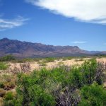
The researchers tested their method using information from an aquifer southeast of Mesquite, Nevada.
The site had been used for a controlled groundwater pumping test in 2003. During that test, researchers monitored the ground around a municipal well using 10 highly accurate Global Positioning System stations.
Those instruments recorded small land movements as water was pumped from the aquifer.
For the new study, researchers examined satellite radar measurements covering approximately 5.7 months of pumping. They compared the satellite information with measurements from the ground-based stations.
The aquifer is approximately 1,300 feet thick, with an overlying rock layer about 280 feet thick.
Using the measurements and a computer model, the research team developed maps showing how permeability varied across the aquifer.
The maps revealed an underground channel where water could move more easily, along with areas that appeared to restrict its movement.
One area of low permeability matched a possible geological fault identified in earlier research.
Satellites Provide a More Detailed Picture.
The researchers compared three approaches: using only ground-based measurements, using satellite measurements, and combining both.
At the Nevada test site, a single satellite radar map provided substantially more information about permeability differences than multiple sets of measurements collected by the ground-based stations.
The satellite measurements also allowed researchers to identify underground features across a larger area.
Combining the two types of measurements provided some additional information and slightly reduced uncertainty in the results.
The findings do not mean that ground-based measurements are unnecessary. The study compared the information available from the particular instruments and their locations at the Nevada site.
The researchers also used statistical calculations to estimate how much confidence they could place in their maps.
This matters because researchers cannot observe underground conditions directly across an entire aquifer. Computer models must estimate what lies between the available measurements.
Why Groundwater Mapping Matters.
Groundwater is being removed faster than nature can replace it in many parts of the United States and around the world.
When pumping continues at unsustainable rates, some aquifers can suffer permanent physical damage.
As groundwater pressure drops, underground materials may become compressed. In severe cases, that compression can reduce the aquifer’s ability to store water when supplies are replenished.
Understanding how water moves through an aquifer can help water managers evaluate pumping and better predict how underground supplies may respond.
Traditional groundwater models can contain substantial uncertainty because an aquifer’s physical properties often change from one location to another.
The new mapping method provides another source of information for building those models.
Rather than treating an aquifer as though its underground materials are uniform, researchers can identify areas where water moves more freely and areas where movement is restricted.
New Satellites Could Expand the Research.
The study also points to opportunities created by newer satellite technology.
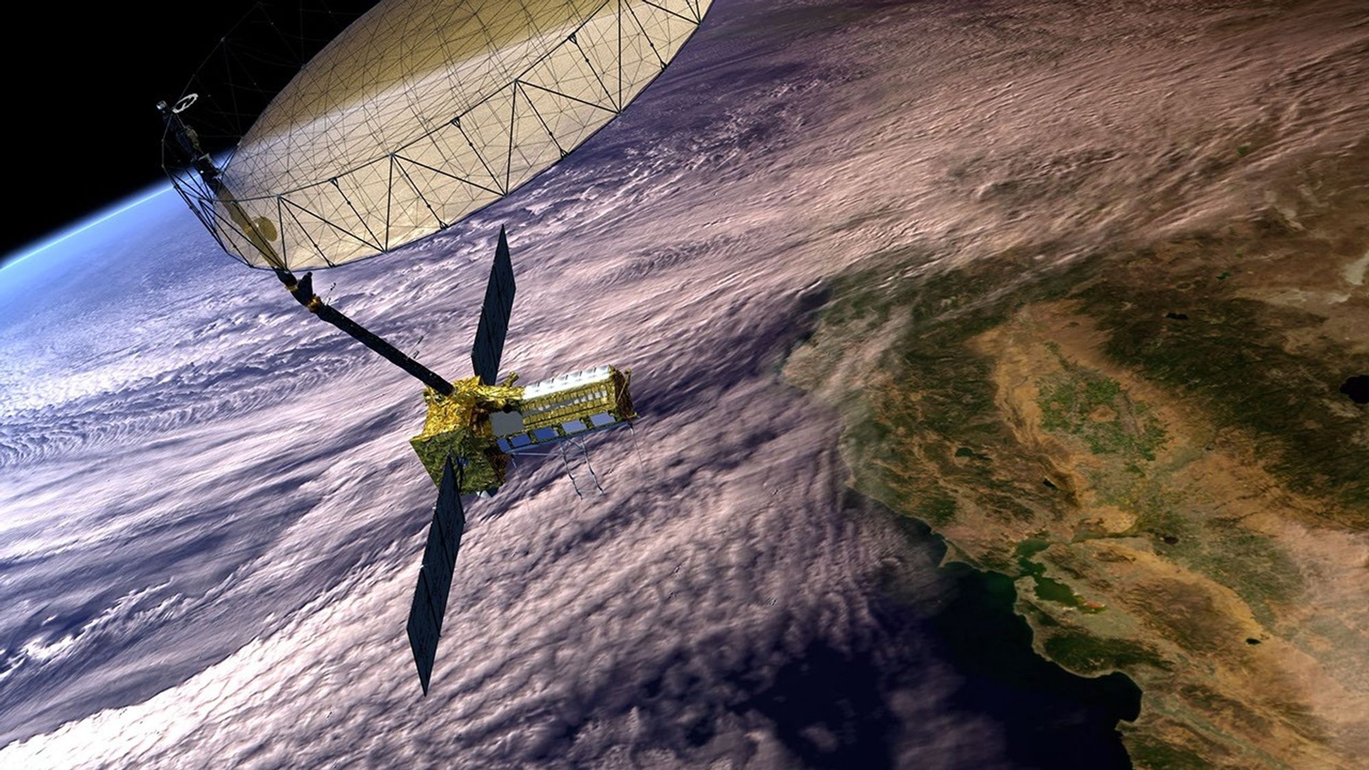
In 2025, NASA and the Indian Space Research Organization launched the NISAR satellite to monitor changes across Earth’s surface.
The satellite can collect repeated radar measurements approximately every 12 days. Its longer radar wavelengths also allow it to gather useful information through vegetation cover.
That capability could be particularly valuable in agricultural regions that depend heavily on groundwater pumping.
More frequent observations could allow scientists to track changes in the land over time and improve estimates of underground conditions.
Researchers also suggested that future work could use the expanding satellite data to estimate additional aquifer properties, including how much water an aquifer can store.
A New Tool for Groundwater Managers.
The research does not directly measure how much groundwater remains in the Nevada aquifer. Instead, it offers a way to estimate how water moves through the underground materials.
The method also depends on computer models and statistical assumptions, and the findings were demonstrated using a particular Nevada pumping test.
Still, the researchers identified an important advantage: the satellite observations used in the study are publicly available.
That could make the approach a cost-effective addition to existing groundwater monitoring methods.
As more satellite measurements become available, researchers expect the technique to provide increasingly detailed information about underground water systems.
For communities and water managers dealing with declining groundwater supplies, those measurements could offer a clearer picture of what is happening beneath the land.
Sources:
1. The University of Texas at Austin, Jackson School of Geosciences. “Researchers Map Aquifer From the Surface Using Remote Sensing and Statistical Models.” October 20, 2026.
2. Alghamdi, Amal; Marc A. Hesse; Jingyi Chen; and Omar Ghattas. “Advancing Aquifer Characterization Through the Integration of Satellite Geodesy, Geomechanics, and Bayesian Inference.” Geophysical Research Letters, July 18, 2026. DOI: 10.1029/2025GL117023.
Image: The NASA-ISRO SAR (NISAR) Mission. https://science.nasa.gov/mission/nisar/mission-overview/