- Tropical moisture brought unusually heavy rain to much of the Southwest.
- Parts of Arizona, New Mexico, Colorado and Utah received significant rainfall.
- Drought conditions improved in Colorado and parts of Wyoming.
- Hotter, drier weather could return to the West in early October.
Saturday, October 3, 2026 — Across the United States, drought conditions moved in sharply different directions during the week ending September 29.
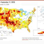
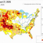
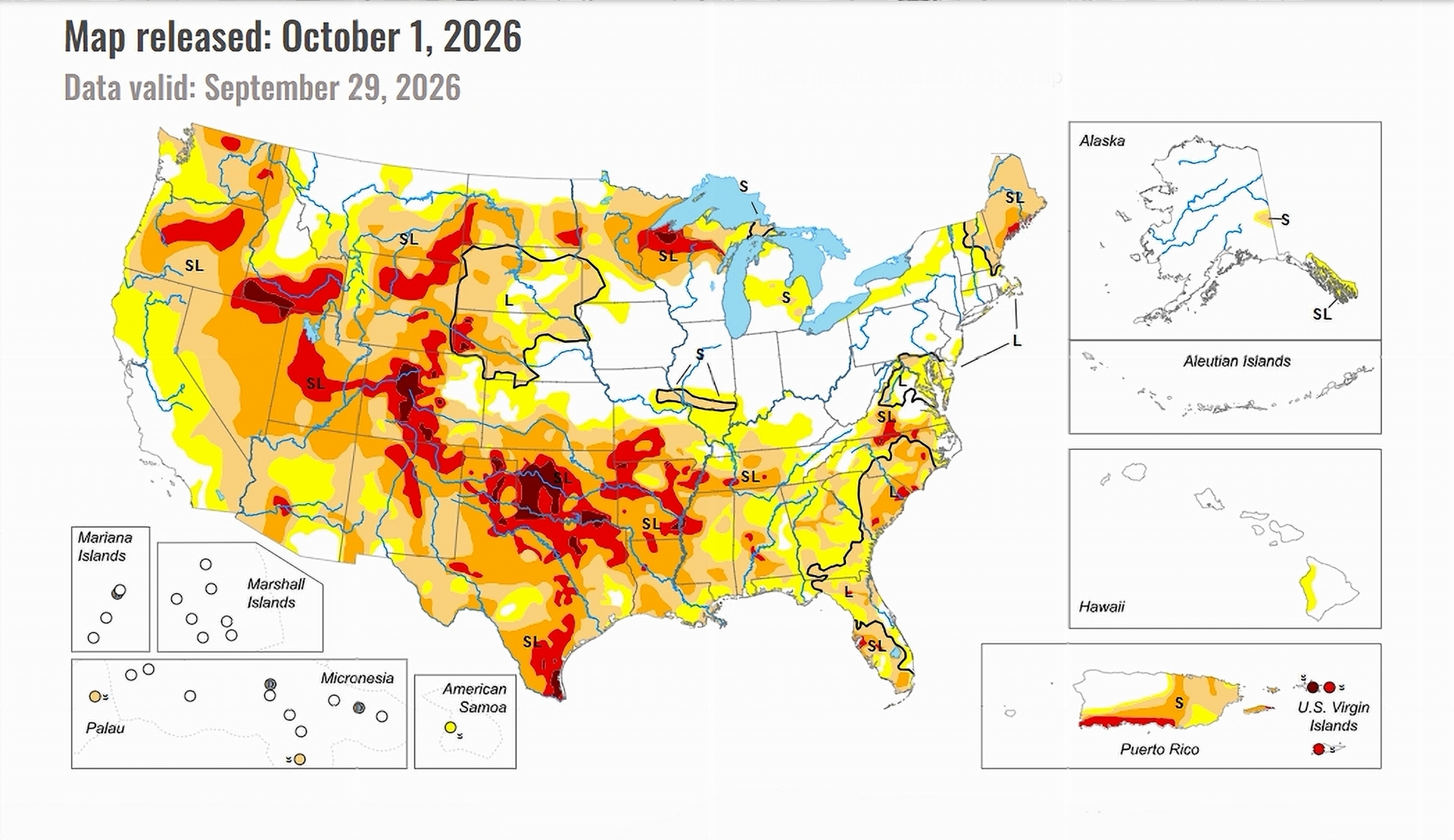
The latest U.S. Drought Monitor reports that heavy rain improved drought in parts of the Northeast, Southwest, High Plains and northern Plains. At the same time, persistent heat and little rainfall worsened drought across much of Texas, Oklahoma and several southeastern states.
Some of the most dramatic changes occurred in the Southwest, where moisture from eastern Pacific hurricanes produced unusually heavy rainfall across areas that normally receive little rain.
Tropical Moisture Soaks the Southwest.
Moisture associated with Hurricanes Odalys and Polo helped create what the U.S. Drought Monitor described as a near-record moist environment across the normally dry Desert Southwest.
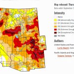
Very heavy rain fell across much of New Mexico and portions of Arizona, Utah and Colorado. Some areas received between 5 and 10 inches during the week—a substantial portion of the rainfall those locations normally receive in an entire year.
The heaviest rain stretched across eastern New Mexico into northwestern Texas, while beneficial rainfall also reached southern and eastern Colorado.
The U.S. Drought Monitor reported substantial drought improvement in Arizona, New Mexico and Colorado following the storms.
Colorado Sees Widespread Improvement.
Colorado was among the states benefiting from the unusual connection between warm eastern Pacific waters and tropical moisture moving into the interior West.
Despite temperatures running as much as 6 degrees above average in portions of the High Plains, plentiful rainfall led to widespread drought improvement.
Colorado, Kansas and Nebraska experienced some of the most notable improvements in the region.
Elsewhere in the Colorado River Basin states, drought conditions across much of the West changed relatively little during the week. Northwestern Wyoming was one exception, where drought and unusually dry conditions improved.
A Very Different Story Elsewhere.
Conditions were far less favorable across much of the South.
Central and eastern Texas, Oklahoma and Arkansas remained under widespread severe, extreme or exceptional drought. Louisiana, Mississippi and Tennessee also experienced worsening conditions following September heat and continued lack of rainfall.
Northern Wisconsin and Michigan’s Upper Peninsula also continued to struggle with significant drought.
That contrast produced an unusual national drought picture: some parts of the country received enough rain to substantially improve conditions in days, while drought continued to intensify elsewhere.
More Rain, Then a Possible Return to Heat.
The wet pattern in the Southwest was continuing as the next U.S. Drought Monitor reporting period began.
Substantial rain fell across Arizona and New Mexico and extended into the Central and High Plains. The system connected to Hurricane Polo was expected to move eastward, carrying the possibility of additional heavy rainfall into Texas, Oklahoma, Nebraska, Iowa, and other areas.
The longer-range outlook, however, pointed toward another change for the West.
For the following six to 10 days, the Climate Prediction Center projected well-above-average temperatures across the western states along with increased chances for below-normal precipitation.