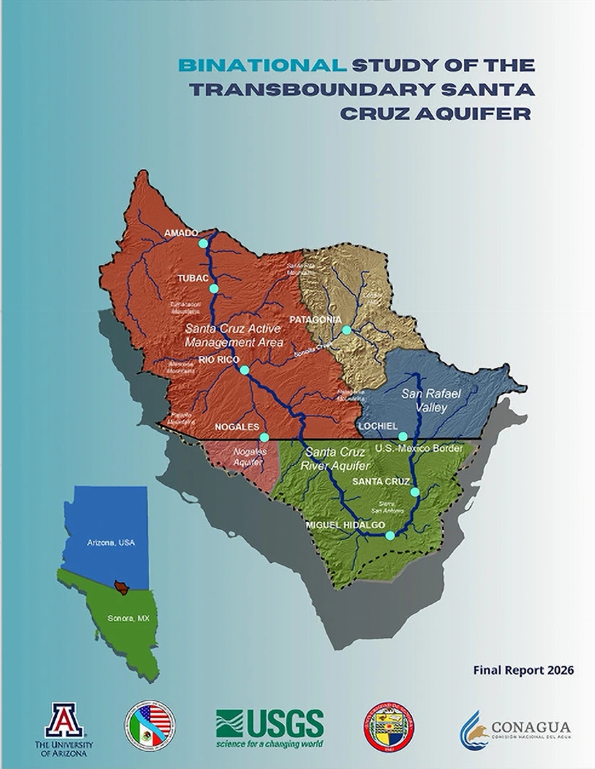
- The 233-page study combines groundwater science from Arizona and Sonora.
- Groundwater generally moves toward the Santa Cruz River and north through the valley.
- Some monitored wells showed little change between earlier measurements and 2025.
- Scientists found important gaps in groundwater, streamflow and water-quality monitoring.
- Researchers recommend continued binational monitoring and a regional groundwater model.
Saturday, September 26, 2026 — Scientists in the United States and Mexico have completed a major study of groundwater shared beneath southern Arizona and northern Sonora.
The Binational Study of the Transboundary Santa Cruz Aquifer , released September 25, brings together information on geology, climate, rivers, groundwater, water quality, land use and water use from both sides of the international border.
The International Boundary and Water Commission’s Transboundary Aquifer Assessment Program conducted the work. Scientists and technical experts from the U.S. Geological Survey, Mexico’s National Water Commission, the University of Arizona Water Resources Research Center and Universidad de Sonora participated.
The study fills an unusual information gap. The United States and Mexico share numerous aquifers, but there is no treaty governing management of groundwater in those shared aquifers. Historically, much of the scientific work was conducted separately within each country.
The new report brings the information together.
Researchers said the binational approach produced a more complete picture of the Santa Cruz aquifer system than either country could have developed on its own.
A River That Crosses the Border Twice.
The Santa Cruz River begins in Arizona’s San Rafael Valley, flows south into Sonora, turns northwest in Mexico and crosses back into Arizona east of Nogales.
Beneath the region is a connected groundwater system covering about 3,890 square kilometers, or roughly 1,500 square miles. The study found that the alluvial and bedrock aquifers extend continuously across the international border.
That water has many jobs.
It supplies municipal, industrial, agricultural and mining uses. Groundwater also helps support the Santa Cruz River and its aquatic and streamside ecosystems.
Nogales, Arizona, depends on wells along the Santa Cruz River for its water supply. Nogales, Sonora, draws from several well fields and aquifer areas. Treated wastewater from the two cities also plays an important role in portions of the river in Arizona.
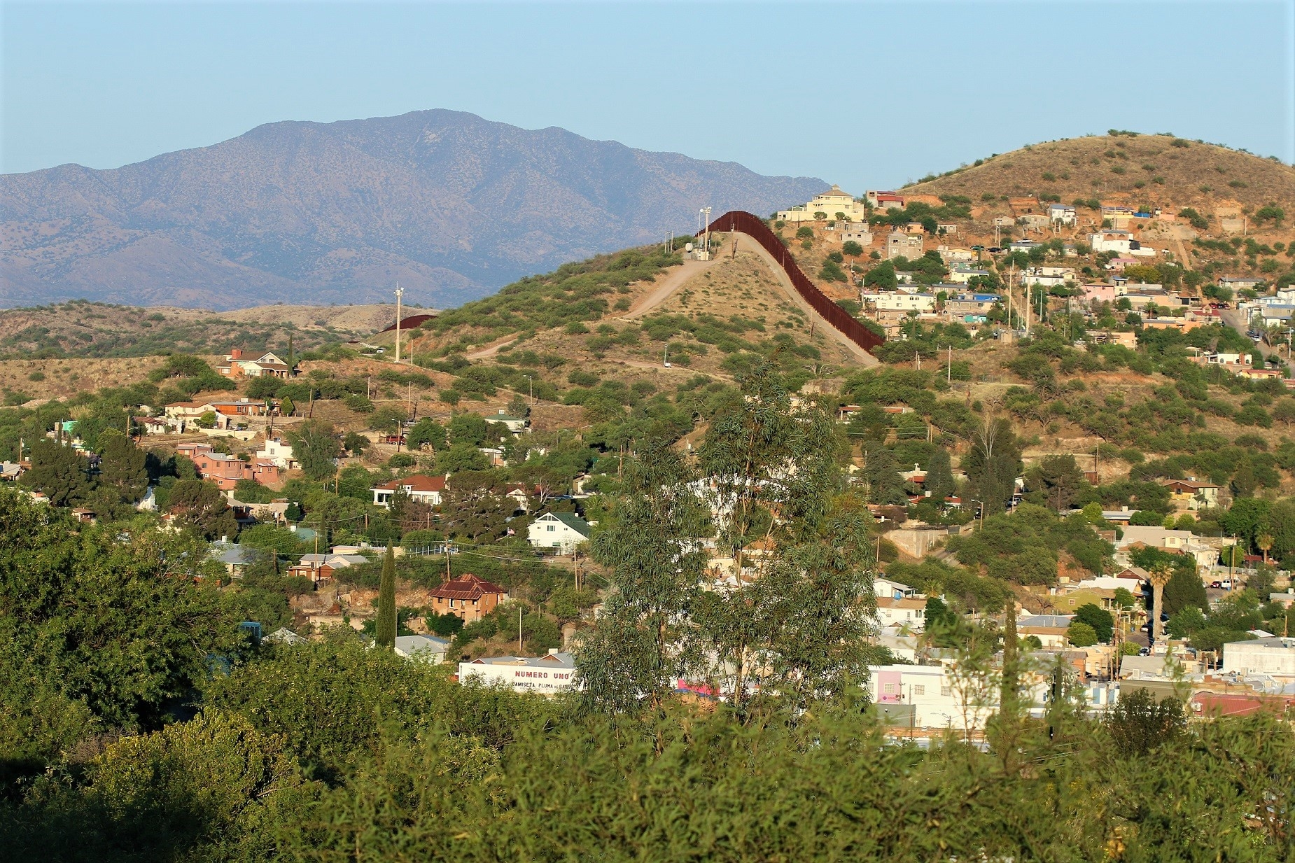
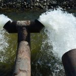
 . Photo taken by Salvador Vitanza from Nogales, Arizona. Licensed under the Creative Commons Attribution-Share Alike 2.5 Generic license.
Where the Groundwater Goes.
One of the report’s basic findings is that groundwater does not stop at the international border.
Water generally moves from higher ground toward the Santa Cruz River and then northward through the valley. The exact movement varies because the underground landscape is complicated. Faults, different rock and sediment types, and changes in aquifer thickness affect how easily water moves and how much it can store.
The most permeable areas are generally the coarse sand and gravel deposits near active stream channels. Finer sediments farther into the basin slow groundwater movement. Fractured rock along mountain fronts can provide additional pathways for water.
In simple terms, the aquifer is not one giant underground bathtub. It is a complicated collection of water-bearing materials with some areas that move water easily and others that do not.
Rain and Snow Feed the System.
Precipitation is the main source of recharge, meaning water that eventually makes its way underground and replenishes the aquifer.
Much of that recharge occurs at higher elevations. Water can soak through fractured bedrock, enter the ground along mountain fronts, or seep downward from the Santa Cruz River and smaller stream channels. The study also found that mountain recharge generally comes from a combination of summer and winter precipitation.
The region’s climate makes that recharge highly variable.
Annual precipitation ranges from about 350 millimeters, or 14 inches, on the valley floor to more than 600 millimeters, or about 24 inches, in higher country. Much of the rain comes during the North American Monsoon from July through September, with additional moisture arriving from winter storms.
Most of the Santa Cruz River and its tributaries are dry much of the time. Short reaches near Nogales, Arizona, remain flowing because of shallow groundwater and treated wastewater.
The report found that climatic swings and extreme weather events help control when significant recharge and runoff occur.
Groundwater Levels Tell a Mixed Story.
The study compared groundwater information from Arizona and Sonora.
Water is generally closest to the surface near the Santa Cruz River and becomes deeper farther away from the river and near the mountains. Measurements from 2011-2012 and 2025 ranged from ground level to about 128 meters (420 feet) below ground.
Importantly, several monitored wells showed little variation over time. The researchers described those locations as areas with limited groundwater-level variation during the period covered by the available records.
The report does not say that this pattern applies everywhere in the aquifer. Monitoring coverage remains uneven, and some areas have relatively little information.
What Scientists Found in the Water.
Groundwater chemistry changes as water moves through the aquifer.
Water near recharge areas generally contains more calcium and bicarbonate. Farther along its underground journey, sodium, sulfate and chloride can become more prominent as the water spends more time in contact with rocks and sediments.
Researchers found similar chemical patterns on both sides of the border. Most trace elements measured in the study remained within natural background ranges.
However, the researchers identified gaps in the chemical record. More isotope sampling is needed to better determine where groundwater comes from, how old it is, how long it remains underground, and how different groundwater sources mix.
A Major Piece Is Still Missing.
Despite decades of groundwater research, no groundwater-flow model yet covers the entire binational Santa Cruz aquifer system.
Existing models generally cover individual portions of the aquifer in either Arizona or Sonora. Differences in how the two countries collect and analyze information also make some water-budget estimates difficult to compare.
The report says enough scientific work now exists to provide a foundation for a future binational model.
Such a model could improve estimates of groundwater moving across the international border and improve understanding of climate effects. It could also allow researchers to test scenarios involving changes in land use, industrial water use, and water-management practices.
Scientists Still Have Blind Spots.
The report is also candid about what scientists do not know.
Groundwater monitoring is not equally extensive on both sides of the border. Some areas have too few wells for researchers to confidently determine groundwater gradients. Differences in monitoring schedules, equipment, and data quality make it difficult to study long-term changes across the entire aquifer.
Scientists also lack detailed information about the underground geology at many wells.
Another uncertainty involves exactly how much water recharges the aquifer and where that recharge occurs. Rainfall is episodic, and water can enter the aquifer through complicated mountain and stream systems.
Information about exchanges between groundwater and the Santa Cruz River is also limited. The report says better measurements would improve understanding of how groundwater contributes to river flows and how changing hydrologic conditions could affect streamside ecosystems.
What Comes Next.
The study recommends continuing the two countries’ scientific partnership.
Researchers called for sustained monitoring of groundwater levels, streamflow, and climate. They also recommended expanding the network of wells used for groundwater and water-quality sampling and improving the collection of geological information.
The report recommends developing a regional groundwater model that could describe the larger system. Scientists could then build or refine more detailed local models as new information becomes available.
Scientists also recommended additional chemical and isotope studies to better track the age, movement, and mixing of groundwater.
Just as importantly, the report calls for common monitoring methods and shared data so researchers in Arizona and Sonora can more easily compare what they are seeing.
Citation:
Callegary, J.B., Minjárez Sosa, J.I., Tapia Villaseñor, E.M., Wildermuth, L.M., Monreal, R., Grijalva Noriega, F.J., Gray, F., Eastoe, C.J., López-Arriola, L., Cruz Ayala, M.B., Cederberg, J., Treviño Macías, G.C., Oroz Ramos, L.A., and Megdal, S.B. (2026). Binational Study of the Transboundary Santa Cruz Aquifer. International Boundary and Water Commission, United States and Mexico.